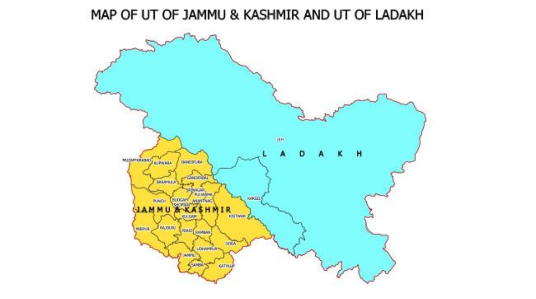


New Delhi, September 6: India has voted in favour of a United Nations General Assembly resolution promoting the use of equal-area map projections, while stating that its international boundaries, including the Union Territories of Jammu and Kashmir and Ladakh, must be depicted in accordance with India’s official maps.
Responding to media queries, Ministry of External Affairs spokesperson Randhir Jaiswal said India’s support for the resolution did not amount to endorsement of any particular map or projection.
“India voted in favour of the resolution and also made an explanation of the vote, stressing the underlying principle of promoting equal-area cartographic representation,” Jaiswal said.
He added that the resolution did not address political cartography, including international boundaries, disputed territories or place names. “India’s sovereign territory, including the Union Territories of Jammu and Kashmir and Ladakh, must be depicted in accordance with India’s official map. Any inaccurate or misleading depiction is unacceptable,” he said.
The General Assembly adopted the resolution, titled “Correct the Map: Rebalancing Global Cartographic Representation and Promoting Equitable Representation of the World’s Regions, Particularly Africa”, on September 4.
The resolution encourages the use of equal-area projections that preserve the relative sizes of landmasses. It does not ban existing map projections or mandate a single alternative.
The measure received 164 votes in favour. Estonia, Georgia, Lithuania, Moldova, Serbia and Ukraine abstained, while the United States voted against it.
The resolution follows an African-led campaign to promote alternatives to the Mercator projection, which can make regions near the poles appear larger than they are in relation to areas near the equator.
For example, Greenland appears similar in size to Africa on a Mercator map, although Africa covers about 30.37 million square kilometres compared with Greenland’s 2.16 million square kilometres. Alaska may also appear similar in size to Brazil, despite Brazil covering nearly five times the area of Alaska.
The Mercator projection remains in use for navigation because it preserves directions, while equal-area projections are intended to provide a more accurate comparison of landmass sizes.